Past Activity
Ash Swale / Eagles Rest
-
Start date: 05/18/2024
-
Start time: 9:00 AM
Description:
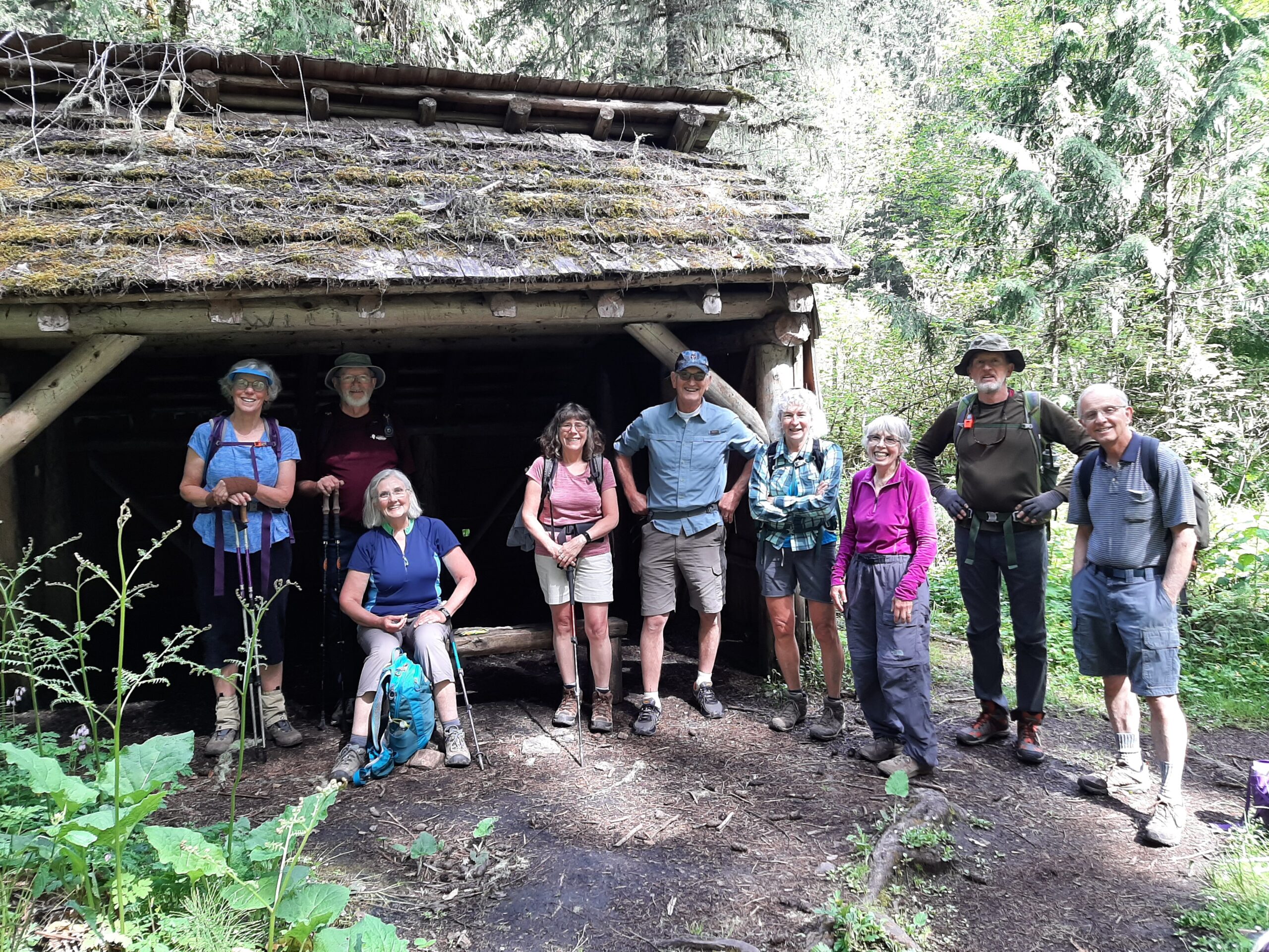
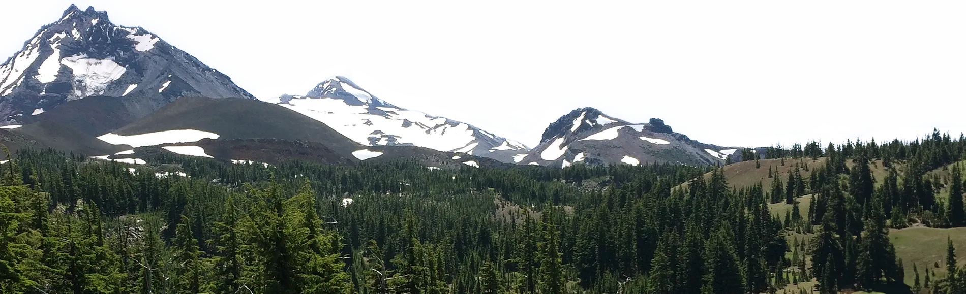
This lovely hike is close in with a mix of forest types, understory and swampy areas. The trailhead is 3 miles up Goodman Creek Road off of highway 58. As we climb, the trail is frequently muddy. Ash Swale shelter is near a swampy area. The top of Eagles Rest at 3022 feet gives a view of the upper Lost Creek valley. We can enjoy lunch at the top, then return on the same trail.
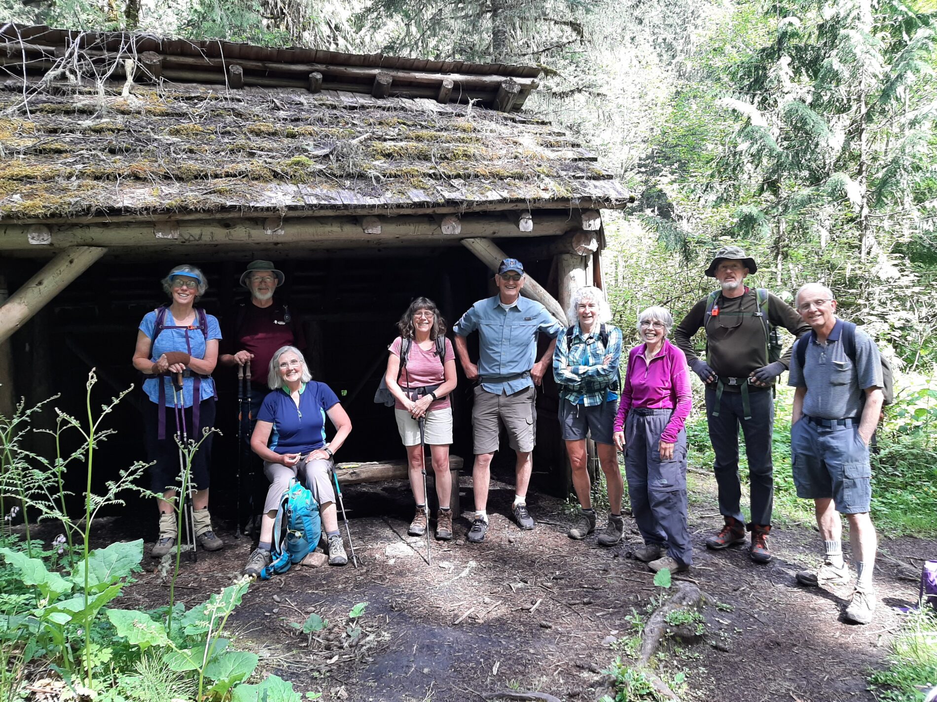
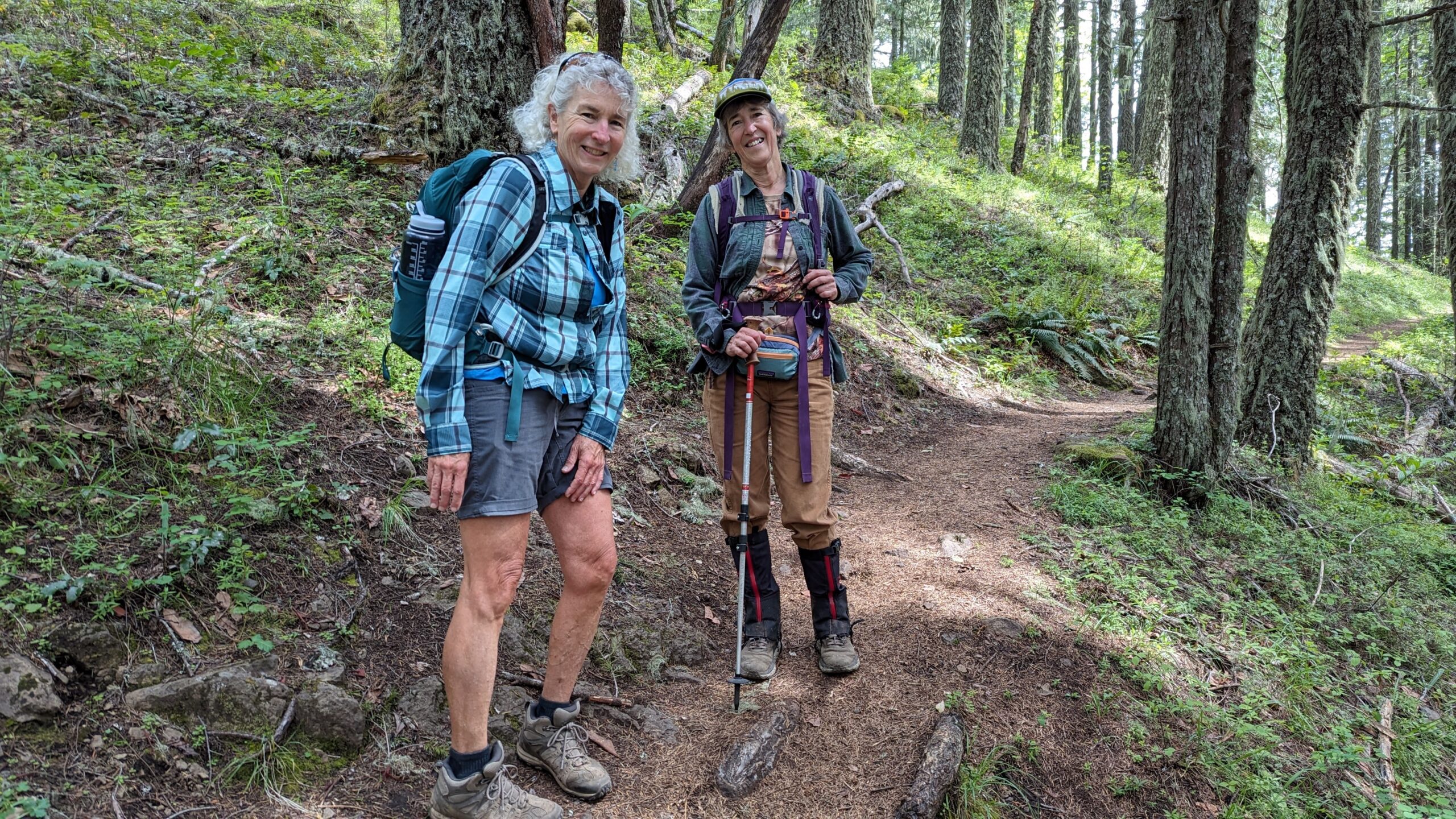
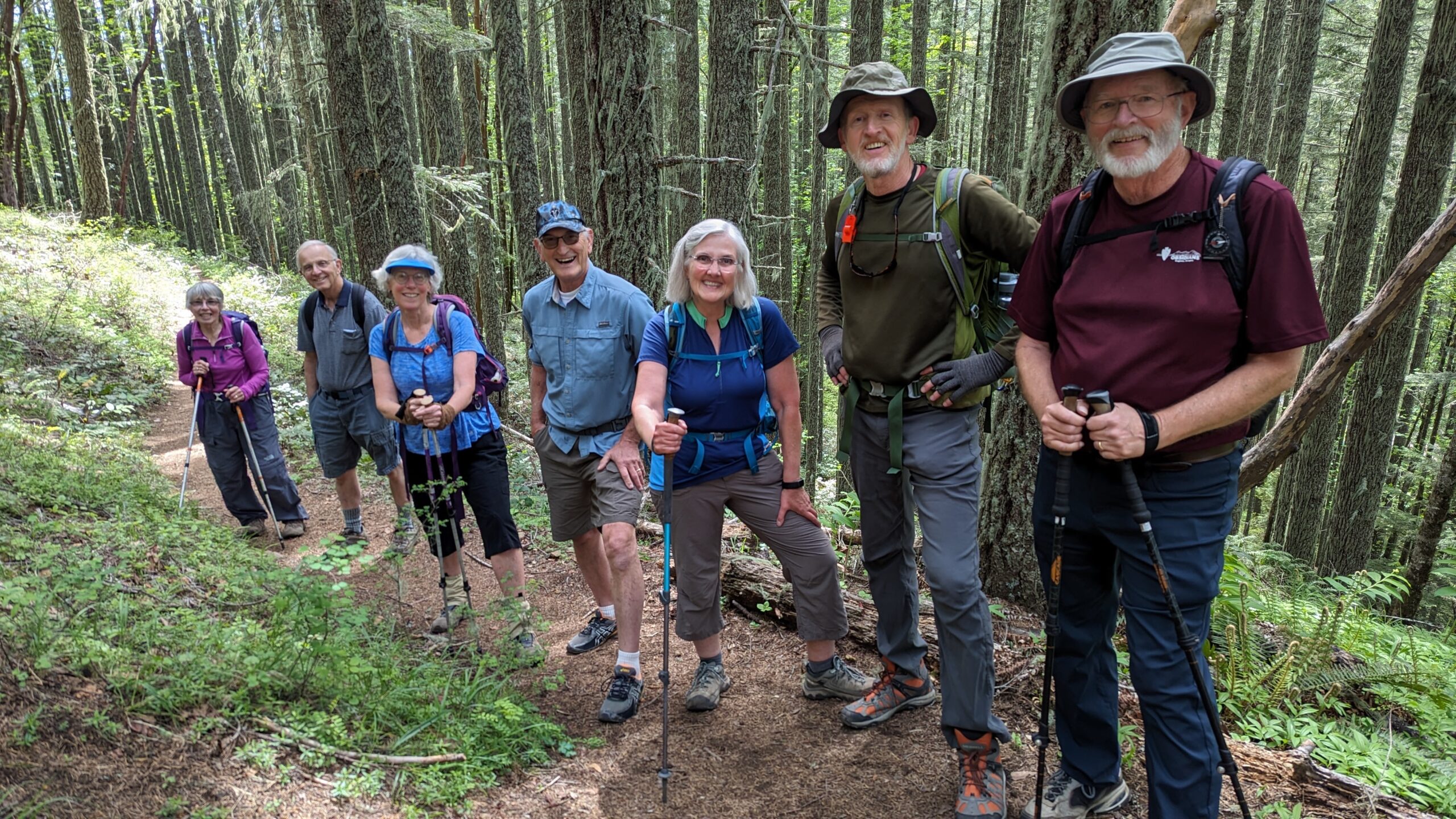
Photo by: Jean Harris
-
Event Leader: Jean Harris
-
Event Leader Phone: 541-953-0268
-
Event Leader Email: jeanmarieharr@gmail.com
-
Assistant Leader: Default Admin
-
Event category: Trips
-
Area Type: Mountain
-
Departure Location: Lane Community College, parking lot nearest stoplight
-
Rating: Moderate
-
Roundtrip total drive miles: 56
-
Season: 2024
-
Permits Required:
-
Event Status: Passed
-
Supplies and Equipment Required: water, snacks, layers and rain gear as needed.
-
participant prerequisites:
-
Conditions:
-
Total Distance: 5
-
Member Fees: —
-
Elevation Gain: 1600
-
Non-Member Fees: 5
-
Committee: Trips
-
Junior member fees: —
Gallery