Resources

Icon

Prepare for activities

Are You Prepared for Obsidian activities?!?
We offer both activities and education for safety in nature.

Obsidians exist to enjoy the outdoors, together, safely. Remember: our activities are a shared responsibility. When you decide to go on a trip with the Obsidians, your enjoyment and safety, as well as the enjoyment and safety of the entire group, are of utmost importance.

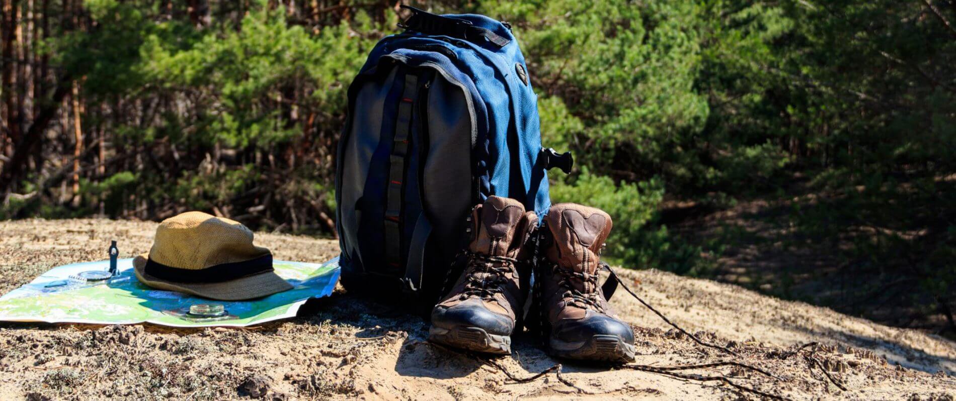
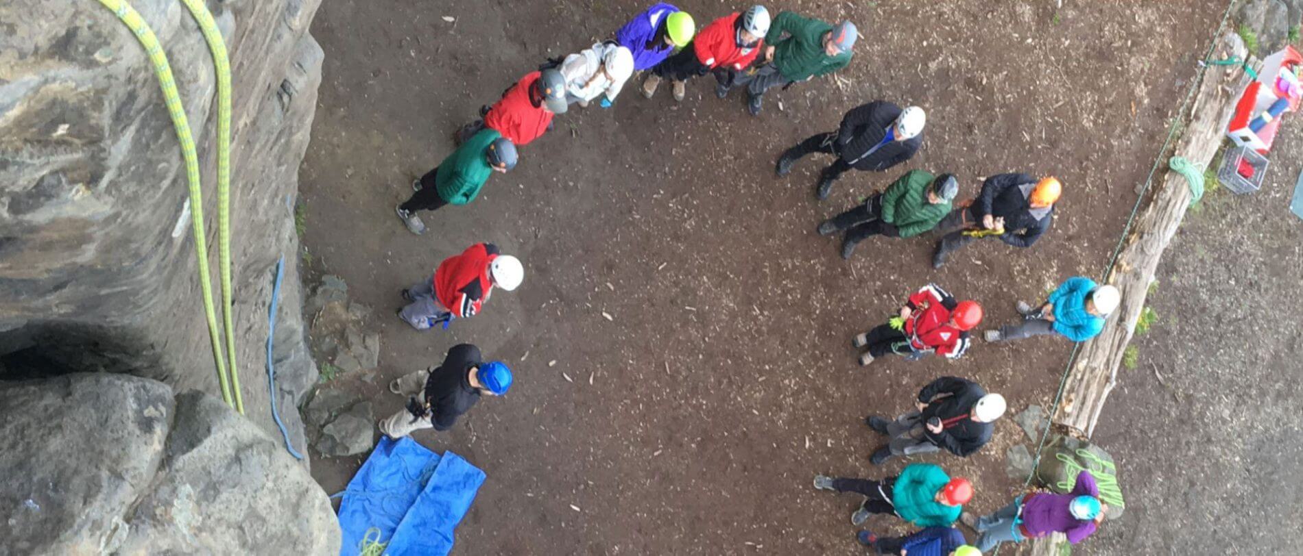
Obsidians have a wide range of activity difficulties, from a casual bus tour, to hiking, to technical mountaineering. Be prepared for whatever type of activity you join. Our leaders are volunteer facilitators and not professional guides. Participants are responsible for their own safety, equipment, comfort and fitness.

Being Prepared:

Asking the right questions to avoid unforeseen hazards
PREVENTATIVE THINKING TO MAXIMIZE YOUR OUTDOORS EXPERIENCE

Consider whether you are prepared… for hydration? for cold? for rain? for sun? for emergencies? What are the Ten Essentials? What are safe trail practices for our groups?

We are flexible with short in-town hikes, but larger adventures require more safety consideration from participants. Please understand these guidelines:

  1. Prepared For an Activity?
    LEARN MORE
  2. Prepared For a Snow Activity?
    LEARN MORE
Check your gear before you go

Pay extra attention to the ‘Equipment Needed’  on each activity’s signup page, which lists extras beyond the normal ‘essentials’. Consult the leader if you have questions.

Icon

First aid kit suggestions

Sometimes we encounter the unexpected. We are ready to overcome adversity.
See below for a list of items to include in your first aid kit.

Each individual should have a kit. The individual kit is just that. It contains some general items and those that fit your specific needs. This kit might be small. Suggested contents are: 6 Tylenol, Aspirin, Advil and Benadryl tablets for your pain and swelling (need regular replacement).

  • Personal meds
  • Disinfectant pads
  • Band-Aids, 1”x 3”
  • 5 Band-Aids, 2”x4 1/2”
  • Surgical Tape, 1”
  • Butterfly strips
  • Insect bite treatment (optional)
  • Rolled elastic bandages, 3 inches wide
  • Emergency Blanket (space)
  • Moleskin
  • Lip protection
  • Sunblock
  • Protective gloves
  • Safety pins, #3’s
  • Triangular cloth bandage
  • Duct tape (wrapped around a pencil)
  • Foam sit-upon (makes great splint)
Icon

Are you able to complete an activity?

Knowing when to back down is a sign of maturity.
We’re happy to help you find an appropriate starter activity.


You are encouraged to call the leader if you have questions about your abilities for an activity or require more information on it.

The Obsidians welcome all to improve their trail fitness with us. Our activities support a variety of skill and fitness levels.

For beginners: Pay extra attention to the trail distance (miles) and elevation gain (feet). An activity rated ‘Easy’ does not always mean it is easy for everyone: An example of a beginners hike would be the 2.5 mile ‘Get Acquainted hike’ around our lodge, with 300’ elevation gain. A 3-mile hike up Mount Pisgah (1000’ elevation gain) is still classified as ‘Easy’, but Pisgah’s elevation gain catches many by surprise. As a local/urban hike, Pisgah has a benefit in that you can turn back early if needed. A 5-mile wilderness hike with 1000’ elevation gain is still classified as ‘Easy’, though many need time and practice to build up fitness for this. Being in the wilderness further complicates matters.

CONTACT US

Outdoor Resources

Helpful Outdoor Links:
These links can help you get outdoors or give you ideas for leading Obsidian Activities.


www.oregonhiking.com

Bill Sullivan’s site: His books are widely used but this site has numerous updates. Trails change, rules are adopted, signs disappear but Bill tries to keep up on these between editions of his books.

www.oregonhikers.org

A big site, especially for hikes to the north. Their Field Guide will get you going to find all kinds of info including maps, driving instructions, Activity reports, lots of cross-references.

www.outdoorproject.com

Lots of info besides maps. Trail descriptions, driving instructions, and pictures. Also has general weather forecasts for each area 7 days out. Driving directions can be downloaded to your phone via Google maps.

https://www.hikeoregon.net

This site by a local woman offers maps for tracks she recorded when she did a certain hike. (These can be downloaded as gpx files.) Activity descriptions are enhanced by pictures. Each hike listed is a personal travelog. It’s the kind of resource that makes you want to check out the hikes presented. She also has a YouTube channel where you can view videos of some of the hikes.

www.alltrails.com

A good source for finding trails in an area. User comments can provide information about recent conditions. The Pro version offers the ability to download maps, plan routes, and access a few extra map sources. Remember this is a user-driven app and the routes shown may involve off-trail recordings.

www.recreation.gov

Where to go for reservations and permits.

www.mountain-forecast.com

Forecasts by peak at three elevations